


See Beneath the Surface
AI-driven drone surveying and subsurface mapping for the modern resource extraction industry.
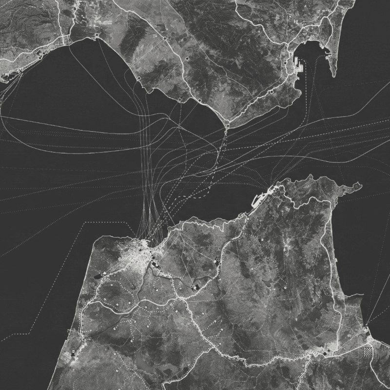
Pinpoint critical battery metals without the environmental footprint of exploratory drilling
Trusted by innovative exploration teams worldwide


We replace heavy machinery with high-fidelity geospatial intelligence
Non-Invasive Exploration
Surgical Mine Optimization
Automated ESG Monitoring
Replace destructive drill pads with advanced LiDAR and hyperspectral imaging. We map subterranean mineral deposits with absolute clarity and zero environmental footprint..
Proven results with innovative AI features
Faster exploration. Cleaner operations.
40% Average Reduction in Surveying Costs
Do more for less
50M
+
Subsurface Data Points Analyzed Daily
99.8
%
Topographical Mapping Accuracy
Stop guessing what lies beneath. We transform millions of raw data points into high-fidelity, actionable subsurface intelligence before your team ever breaks ground.
One step further
Capturing the data is only the first step. Our proprietary AI platform instantly processes complex topography into millimeter-accurate, interactive 3D models. We integrate seamlessly with your existing GIS software, giving your engineering and exploration teams the exact clarity they need to make critical, low-impact decisions.
Whether you’re just starting out or scaling to the next level, we’re here to support your growth every step of the way.
