
The Hardware to See It. The Intelligence to Map It.
Discover the enterprise-grade drone fleets, advanced payloads, and proprietary AI engines powering the next generation of non-invasive exploration.
Discover the enterprise-grade drone fleets, advanced payloads, and proprietary AI engines powering the next generation of non-invasive exploration.

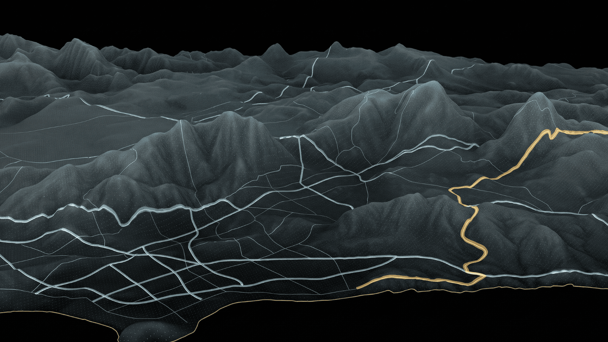
Sweeping Coverage at Scale
When mapping thousands of acres of rugged terrain, efficiency is everything. Our Vertical Take-Off and Landing (VTOL) fixed-wing drones combine the agility of a helicopter with the aerodynamic speed of an airplane, allowing us to capture vast regional surveys in a fraction of the time of traditional ground teams.
Low-Altitude Precision Sensing
For complex topographies and dense forest canopies, our heavy-lift multi-rotor fleets deploy directly to the target zone. Engineered to carry industrial-grade payloads in harsh conditions, these units provide the stability required for millimeter-accurate LiDAR scans and hyperspectral imaging.
Seeing Past the Surface
Visual data isn’t enough. We equip our fleets with state-of-the-art Magnetometers to detect deep-earth mineral anomalies and Hyperspectral cameras to identify surface-level chemical signatures. We capture the invisible metrics that traditional exploration misses.
Enterprise-Grade Capabilities
50km²
Up to 50km² covered per deployment
100%
autonomous flight pathing
Zero
terrestrial footprint